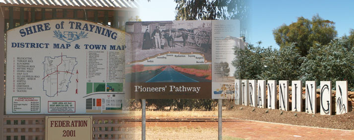
History of the Region
Prior to 1859 there was irregular indigenous occupation within the area. It is thought that Trayning was neutral ground used for meetings of different tribes.
European exploration of what is today known as the wheatbelt began in 1830. In 1846 the northern outskirts of the Trayning district were explored by the three Gregory brothers although expeditions were initially unimpressed with the land as there were few permanent water sources. Pastoral development was considered unlikely to succeed so the period to the end of the 1850’s saw limited interest from the governments of the day.
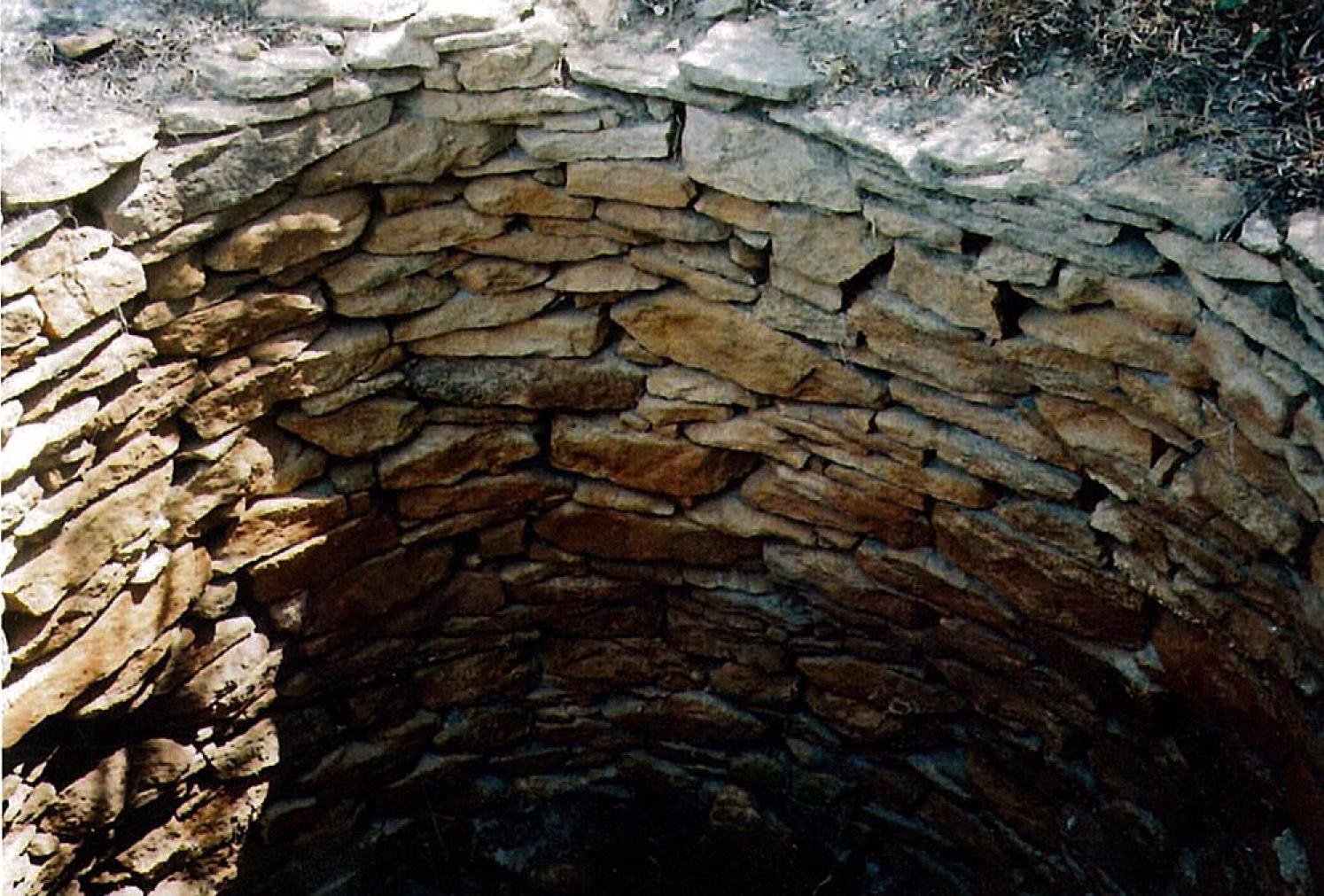
Trayning Well
In 1866, Assistant Surveyor Charles Hunt was instructed by the government to establish water sources and a road to make the region more accessible. The construction of wells and dams by Hunt paved the way for the establishment of the pastoral industry in the Central Wheatbelt and later in the Trayning district.
The name ‘Trayning’ was given to the district after the ‘Trayning Well’ and the name for the well was derived from two aboriginal names ‘Durri-iring’ or ‘Duranning’ as it was shown on an 1869 map. The words mean ‘to crawl’, and ‘a camping place’ and over time became known as ’snake crawling in the grass near campsite’. The importance of these wells was so great that early pastoralists lined them with stone ensuring their longevity.
Early pastoralists and later, farmers, often supplemented their income through logging sandalwood which was in great demand in Asia and it was a readily accepted medium of exchange during early settlement when coinage was scarce.
 The first lease in the Trayning district was taken up by Mr Henry Twine, of Newcastle (now Toodyay). In the early pastoral years, small scale cereal cropping existed as crops were grown close to homesteads. Due to the limited water supplies, large scale cropping was not attempted until the early 1900’s.
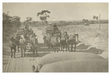
Transportation in the early years was one of the greatest problems, aside from the lack of water. It took over a week to cart wool and other produce to Fremantle by horse and dray.
The goldrush in the early 1880’s at Southern Cross and later, Coolgardie saw substantial population increases throughout the Wheatbelt to the Goldfields and the discovery of gold resulted in renewed government interest in the region prompting the establishment of services and facilities.
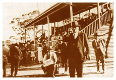 The small townships of Trayning, Kununoppin and Yelbeni developed with the establishment of many businesses and in 1923 came the establishment of the local government body the Kununoppin-Trayning-Yelbeni Road Board. Our logo to this day acknowledges the three townships within the Shire. Local vehicle license plates also carry the KTY prefix. Social life flourished and the first country trotting club in the state was registered in 1923. The original grandstand still exists.
Life was also hard though and drought and locust plagues inhibited development and expansion until the late 1930’s. Just as steady rains started to again produce good crops World War 2 broke out and as the men entered military service there was a shortage of labour, food, clothing, machinery, petrol and fertiliser. A wartime airstrip was built at Kununoppin.
After World War 2 world demand for wool and wheat was high and there was a production boom that lasted till the mid 1950’s. Main roads were bitumenised during this period and rural holdings increased in size.
The mid 1950’s onwards saw an increase in salinity levels throughout the Wheatbelt and drought and low wool prices caused many to leave the land. In 1961 local government changed from the Road Board to today’s Shire structure and although increasing community facilities were provided the district continued to experience drought in the 1980’s and 1990’s and with failing farms, the loss of population in the region.
As a result of this the introduction and implementation of land conservation programs has helped in the rehabilitation of some land. Extensive plans are in place and continually monitored and improved as we move into the next millennium. Today the Shire community prides itself on the ongoing work and is aiming for sustainable land management practices for future generations. Many areas of farmland and untouched bushland can be seen with some bush reserves available to visitors.